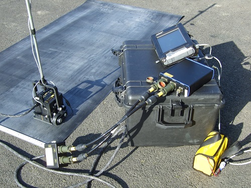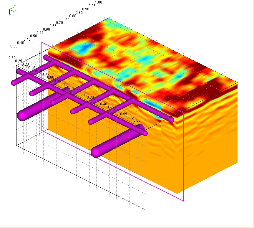
IDS GeoRadar (Italy) is one of the leading equipment manufacturers in the world specializing in researching, developing, manufacturing and distributing Ground-Penetrating Radar (GPR/Georadar). The IDS GeoRadar system can be applied to many different fields such as: detection and mapping of underground infrastructure, civil engineering, Geology and environment management, archeology... Currently, Georadar systems of IDS GeoRadar has been trusted by many agencies, organizations and businesses with more than 20 sets of equipment being used in Vietnam, Laos and Cambodia.
Applications:
Locating and mapping rebars, voids, post-tension cables, cavities, conduits, and any other objects buried in the structure without cutting or drilling into the concrete.
Standards: ASTM D6432.
1. C-Thrue:
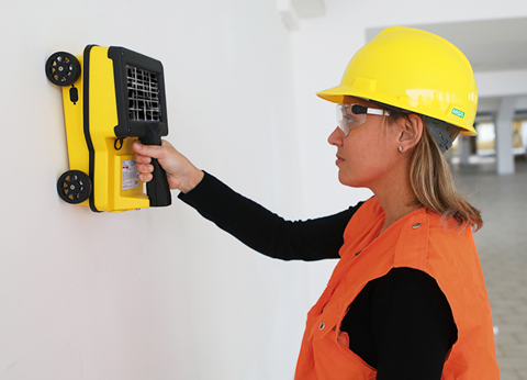
C-Thrue is an all-in-one Ground Penetrating Radar (GPR/Georadar) for accurate scanning and real time analysis of concrete structures. Construction and service companies as well as civil and structural engineers can now improve the way they locate rebars, voids, post-tension cables, cavities, conduits, and any other objects buried in the structure before cutting or drilling into the concrete.
C-Thrue offers more flexibility with no limitations for your analysis requirements, thanks to a compact and light telescopic pole and an external controller that can be easily transported on site in challenging locations or conditions (e.g. under a deck, along vertical walls, etc...).
Features and benefits:
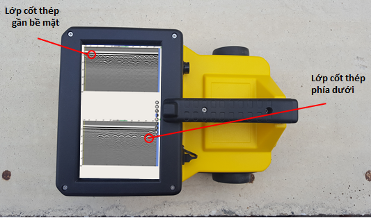
- Clearer and faster surveys: Detection of both first and second levels of rebars thanks to the system’s double polarisation. That means with a single scan, C-thrue captures the data of both horizontal and vertical reinforcing bars, increasing the productivity of reinforcement Mapping. Obtain high resolution data with depth penetration up to 80cm (up to 31.5 in).
- Advanced data visualisation: Augmented reality for 3D data visualisation and sharing across operators – in real time or intervals after acquisition.
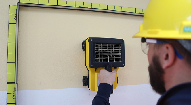
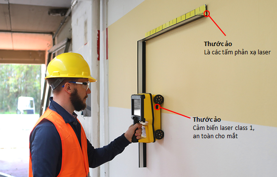
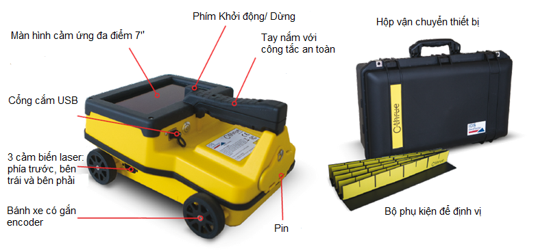
- Increased data accuracy: Eliminate manual, error-prone paper grids with an automatic positioning and navigation system- “Virtual Pad” (based on 3 High safety - Class 1 laser sensors with reflective bars).
- Fully-visible, multi-touch display: data displayed on the screen are never obscured by the handle or the user’s hand.
- EM sensor integrated (50/60 Hz): AC power conduits detection.
- Flexibility everywhere: Lightweight, compact, drop resistant and transportable system for every user operations and construction sites.
2. ALaddin:
Aladdin is a highly portable dual polarized radar for examining the internal structure and features, both near the surface and at depth, within concrete and masonry. It can provide 2D and 3D images of objects in concrete such as shallow and deep rebars, voids, pipes and cables. It can also enable the inspection of concrete for thickness and integrity as well as provide 2D and 3D location of rebars and cables. Aladdin’s advanced processing software offers a range of filtering, processing, visualization and interpretation tools and provides standard printing and image export functions.
ALaddin can also be upgraded to a configuration for detecting and mapping underground infrastructures (underground pipes, cables), detecting termite nests, voids, sinkholes,... (Antenna options: TR200/ 600, TR80), or another configuration for stratigraphy survey and detecting karst (Antenna options: TR25 and TR40).
