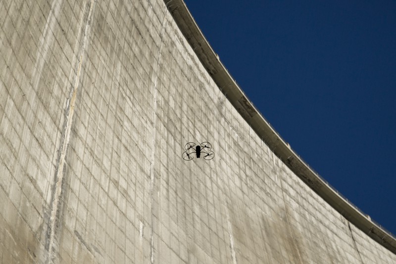
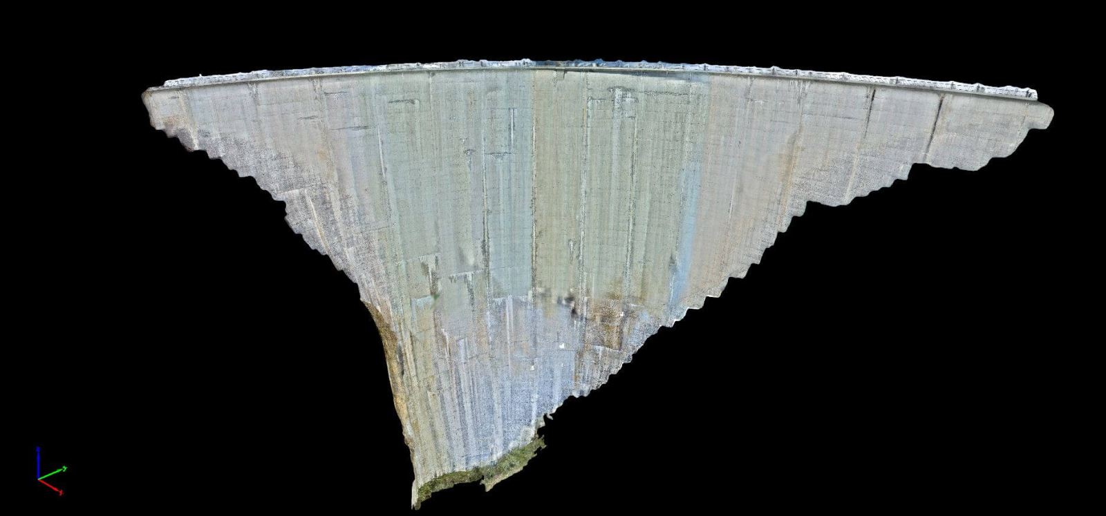
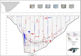
Applications: Capture and 3D mapping dam surface; detect abnormalities, cracks cause leakage on the surface
Features:
- A compact size UAV able to collect 3 types of image data in 1 flight: collect and geotag video, still and thermal imagery at the same time to optimize value generation.
- Integrated 5 wide angle VGA navcams that point in different directions and collect video for situational awareness. These are coupled with sonar sensors that detect objects in close proximity and can be used to hold a fixed difference of objects while recording high quality inspection data.
- Cutting-edge user friendly to operate due to its advanced sensors. The ability to automatically detect obstacles and surfaces making it possible to come close up to the target in order to achieve sub-millimeter image resolutions.The interaction with the drone is highly innovative making the operation easy and effective for even inexperienced operators.
- TripleView Technology with 270° field of view allows you to examine high-definition video and thermal video imagery, live during your flight, and capture high-resolution still images on demand with 38 MP resolution, 1 mm/pixel at 6 m.


