 IDS GeoRadar (Italy) a part of Hexagon AB (Switzerland) Group, is one of the leading equipment manufacturers in the world specializing in researching, developing, manufacturing and distributing Ground-Penetrating Radar (GPR/Georadar). IDS GeoRadar system can be applied to many different fields such as: detection and mapping of underground infrastructure, civil engineering, Geology and environment management, archeology...
Leica Geosystems (Switzerland), a part of Hexagon AB (Switzerland) Group, is the world's No. 1 brand of technology solutions for surveys, measuring, mapping, managing construction & manufacturing activities…
Currently, the Ground Penetrating Radar equipment (GPR/Georadar) of IDS GeoRadar and Leica Geosystems has been trusted by many agencies, organizations and businesses with more than 20 sets of equipment being used in Vietnam, Laos and Cambodia.
Application:
- Underground utility mapping and detection (underground pipes/cable…);
- Detecting others underground objects, helping to detect the location of water leaks...
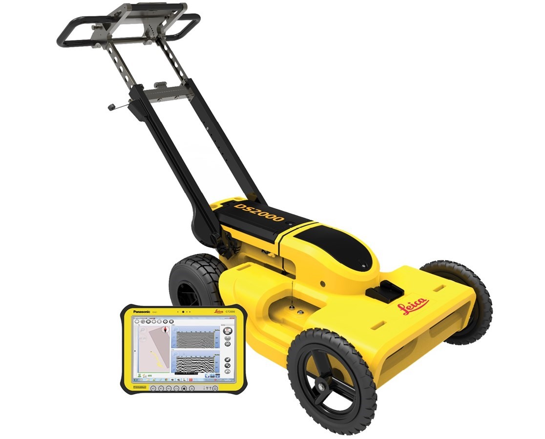
1. DS2000
The one and only advanced integrated solution for Utility Detection surveys.
Main features:
- With 4 wheel-cart configuration, sturdy, flexible design, easy to adjust the position of the handle, convenient for survey, folded when transporting;
- Dual-frequency Antennas 250 MHz & 700 MHz (shielded) will help to survey both objects at shallow depth and depth with only one single scan, simultaneously display the results of both center frequency on the same software interface;
- Intuitiveness – Just click the start button to receive the best performance in every soil condition. No need to perform calibration or adjust any other manual settings;
- Software for controlling, collecting and processing data uNext Basic allows using more than 20 languages, including Vietnamese, the software interface is intuitive and very convenient for users; GPS positioning device can be connected using NMEA communication standard;
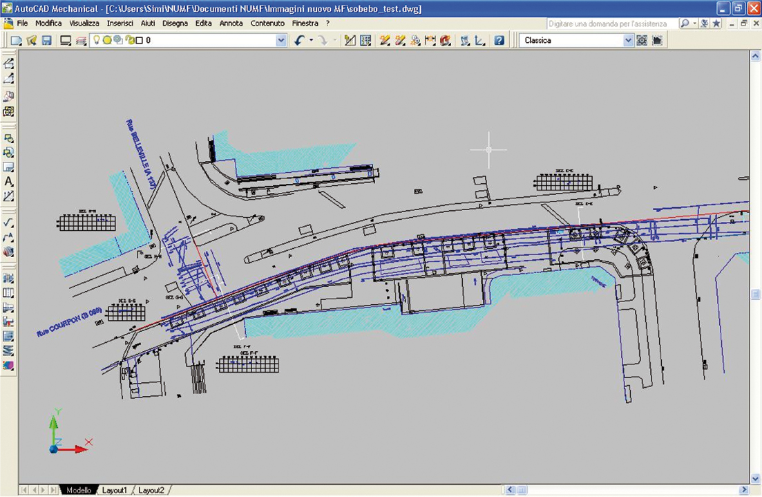
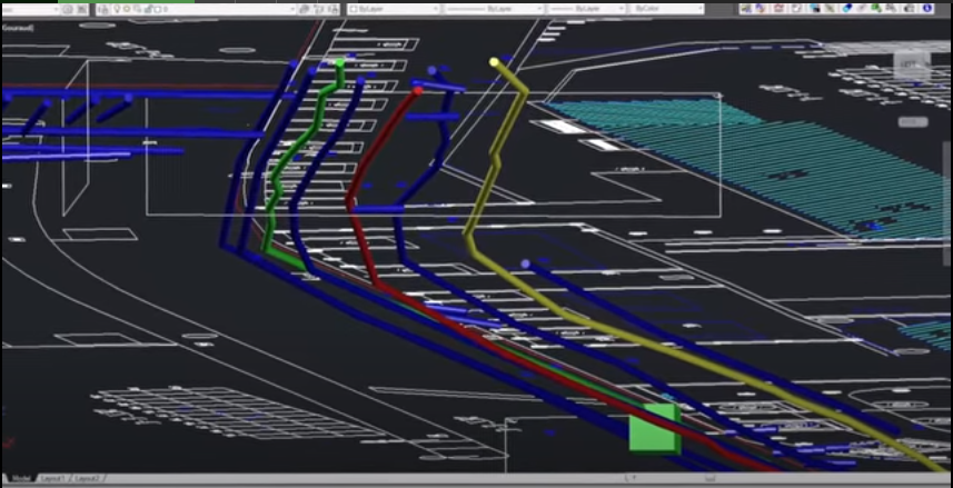
- Results Delivered On Site – The system tracks the position of the radar and marks targets automatically. All of the acquired data can be exported to CAD and GIS, and reports can be produced directly on site.
2. RIS MF HI MOD SYSTEM
The end-to-end solution for accurate underground utility mapping and GIS map creation.
General benefits of the RIS MF Hi-Mod GPR solution include:
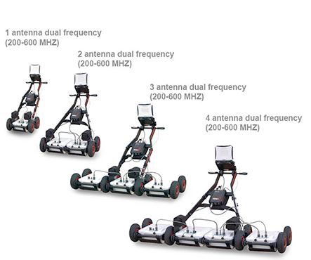
- Deep and shallow antennas in one compact box: Two antennas in the same box, with the option of choosing 200 MHz & 600 MHz or 400 MHz & 900 MHz, help the operator to locate pipes and cables by providing the proper frequency for a specific search parameter. It provides a real-time display of deep and shallow antennas on the same screen;
- OneVision - Acquisition software for use in the field: roviding real-time target viewing, onsite object mapping and GPS navigation, OneVision is a software application for advanced GPR data collection This powerful tool can be used with an array of antennas when performing utility mapping, archeological and environmental surveys, and extensive mapping of medium to large size project;
- Modular: Antenna boxes can be quickly added in "chain connection" while in the field (no tools required) with up to 8” operation simultaneously. As a result, the system is able to work in any available space;
- 3D Radar Tomography: Multi-frequency data fusion and a consolidated procedure to collect the data enable accurate 3D images of the subsurface to be achieved, helping the operator to distinguish individual anomalies and buried targets;
- Professional utility mapping capability: The result can be exported in several formats including GIS and CAD (AutoCAD or MicroStation) for a professional survey.
