* Applications:
- Detect geological stratifications such as unconsolidated weathered mantle layers, sedimentary collections, granite...
- Detect destruction zones and destruction trends.
- Discover Karst cave, bedrock foundation.
- Exploring underground water or detecting seepage flow in dike and dam bodies.
- Environmental projects (pollution, salinity control, pollution monitoring).
- Application in archeology.

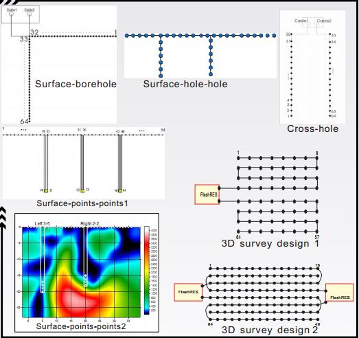
Survey electrode diagrams


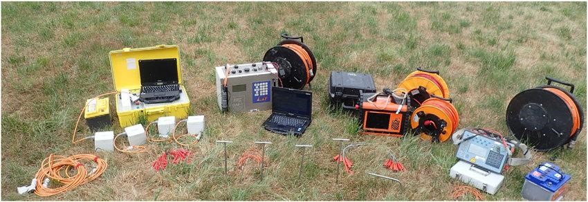
Electrical Resistivity system
* Features & technical specifications:
- Transmitter
+ Voltage: 0 - 2000 Vpp
+ Current: 0 - 2500 mA
+ Power: Auto controled Internal 250W DC/DC converter, and 1200W with external AC/DC
+ Battery: internal battery or external 12V
- Receiver
+ Pulse duration: 250ms, 500ms, 1s, 2s, 4s, or 8s
+ Channels: 10 true differential inputs
+ Input Impedance: 100 Mohms
+ Input Voltage: 15V, automatic gain, input protection 1000V
+ Resolution / Accuracy: 1 µV / 0.2%
+ GPS: GPS input for coordinates and synchronisation
+ Readings: Resistivity, self-potential, induced polarisation (up to 20 windows), quality control and optional full waveform
+ Noise Rejection: power line rejection, SP linear drift correction.
+ Storage: 44800 readings, up to 8 hour full waveform, stored on solid state memory

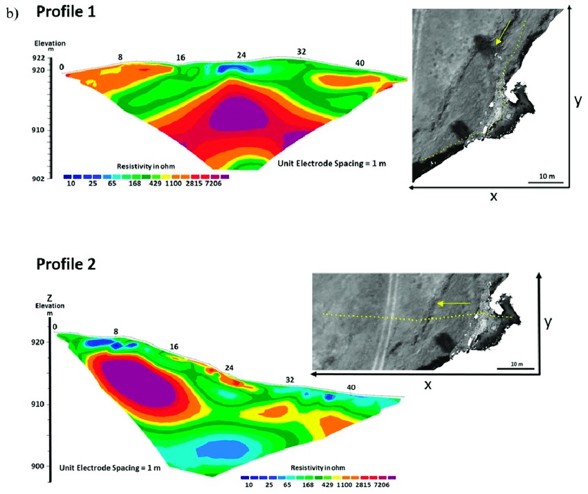
Results after using data processing software