Application:
- Scan images of the bottom of river, seafloor to display 2 - dimentional terrain images with sharpness and high solution.
- Search for wrecks, old wood, debris.
- Military applications, assistance to divers, rescue.
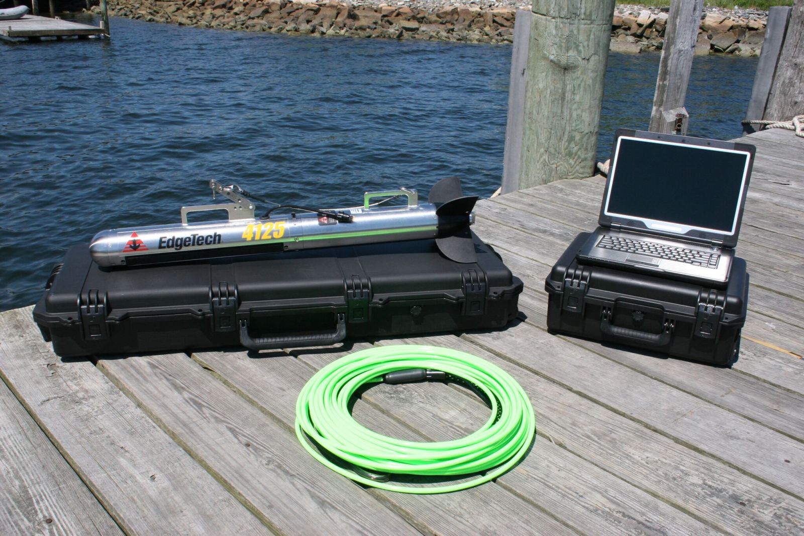
General feature:
- Stable equipment, Large and sharp image resolution.
- Can connect to the software, visual data processing.