Managing urban infrastructure with digital technology is one of the indispensable trends and a basic foundation for implementing smart city models. In recent years, a number of urban areas in Vietnam have also researched, proposed and implemented the collection of digital (digitized) data on urban infrastructure, including data on the status of underground utilities infrastructure (water supply and drainage, electric cables, telecommunication cables ...). The good management of the status of underground utilities infrastructure in the form of digital data will make the management of underground space in particular and urban infrastructure management in general more efficient, saving time. Look up and optimize the accuracy in the process of exploiting data information. Moreover, the construction and management of the status quo of underground utilities infrastructure is also one of the key tasks in the construction of shared digital databases, which is the foundation of the process of building smart city.
Recently, in Phan Rang - Thap Cham City, Ninh Thuan Province, a field survey team of Department of Earth Physics, Ho Chi Minh City University of Natural Sciences conducted a survey and data collection. on underground utilities infrastructure in urban areas. This is one of the categories under the topic "Application of GIS in urban infrastructure management in Phan Rang - Thap Cham city" by the Department of Construction of Ninh Thuan Province in cooperation with the Center for Developing Information Technology and Geographic Information System (DITAGIS) and Greely Vietnam Construction - Trading Co., Ltd implement. The objective of this project is to complete the construction of an urban technical infrastructure management system towards modernization to serve the management and development of urban technical infrastructure system in Phan Rang city - Cham Tower is increasingly effective, synchronized and accurate.
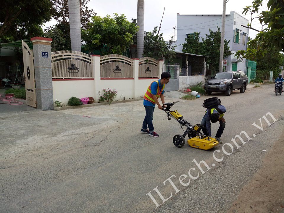
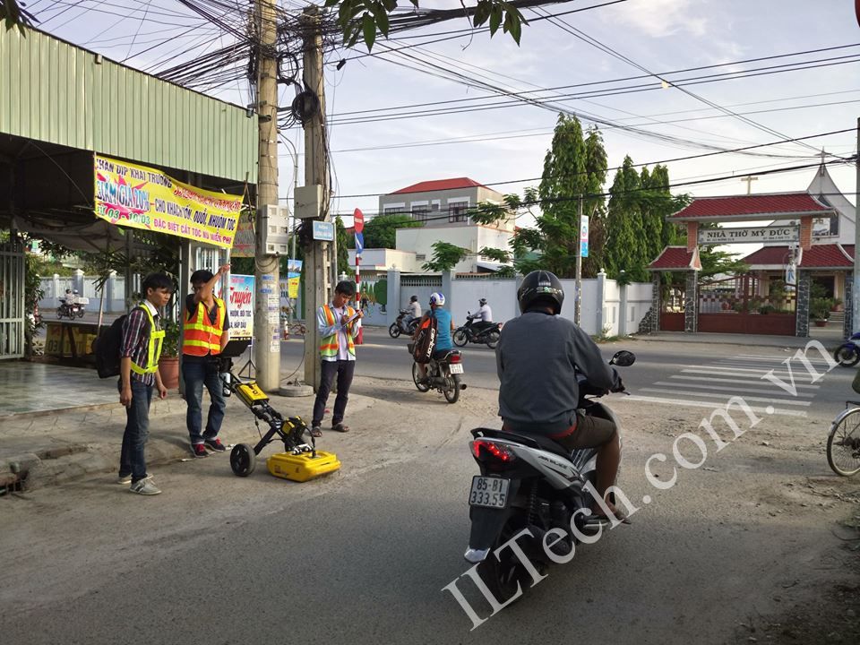
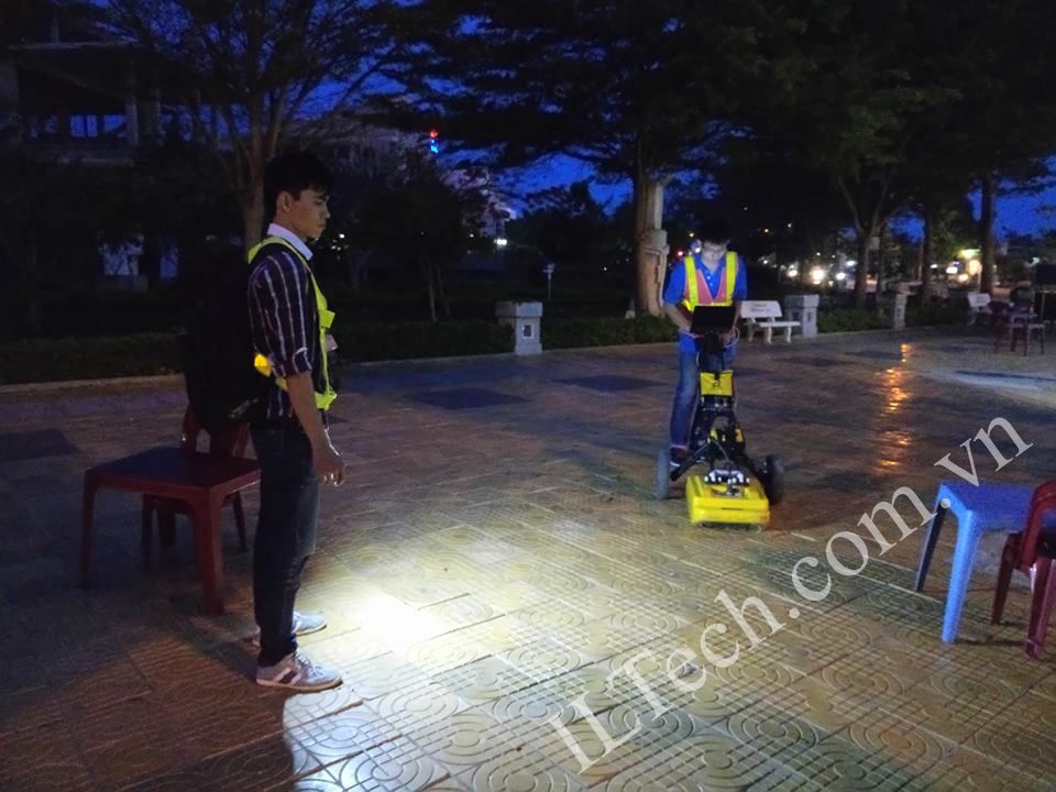
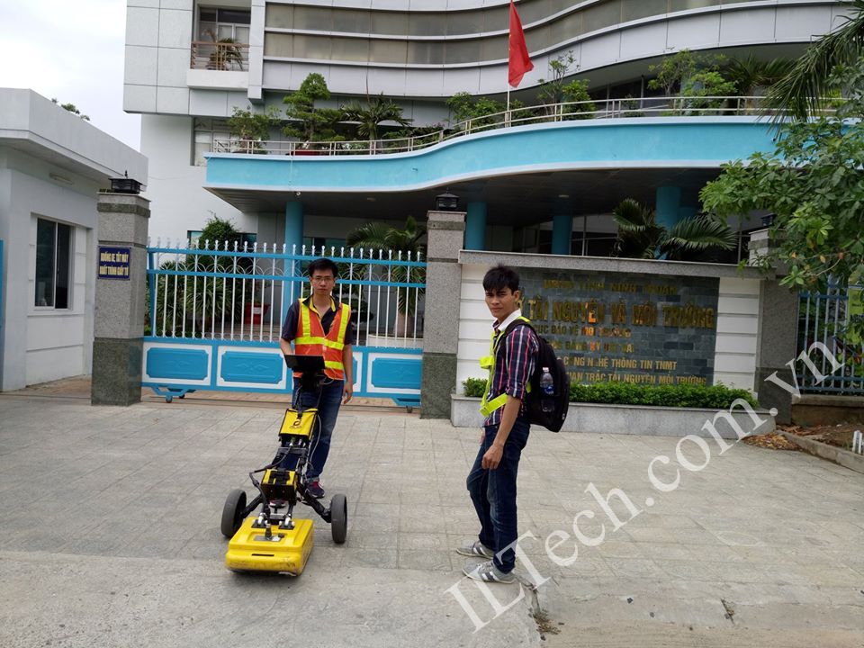
Experts have used Radar Radar technology (GPR), model Detector Duo of IDS GeoRadar (Italy) to conduct field surveys to detect and map underground technical infrastructure works. including supply and drainage pipes, electric cables, telecommunication cables, urban lighting ... The collected GPR data is then processed through specialized software and is the first data. It is important to create digital maps of the current state of the city's underground technical infrastructure. The estimated time for surveying and processing data of urban underground technical infrastructure works in Phan Rang - Thap Cham city lasts about 2 months. Here are some photos when implementing the project:


The process of surveying and collecting digital data about underground utility infrastructure is conducted by
Department of Diaphragm Physics, University of Science Ho Chi Minh City. The equipment used is
Ground penetrating radar (GPR) model Detector Duo of IDS GeoRadar (Italy)